Leaving Las Vegas
Considering the cost of adapting to a changing climate.
“Adapt or perish, now as ever, is nature's inexorable imperative.” – H. G. Wells
As far as large metropolitan areas go, Las Vegas is a bit of an anomaly. While most major cities are situated adjacent to significant bodies of water, the origins of Vegas can be traced back to its utility as a midway point between Los Angeles and destinations further east, first as a key resupply depot on the Spanish Trail and later as a rail stop halfway to Salt Lake City. The legalization of gambling, the loosening of divorce laws, and the construction of the Hoover Dam 40 miles southeast enabled Sin City to flourish with a population boom that has continued virtually unabated to the present day. With that growth has come a perpetual water crisis, as Nevada’s desert conditions and its meager allocations from the Colorado River create significant supply-demand imbalances.
How water from the Colorado River is managed and divvied up between the seven basin states is one of the most complex and politically charged issues of the region, with some 40 million residents depending on it. The foundational Colorado River Compact, signed in 1922, partitioned the region between the Upper Basin (Colorado, New Mexico, Utah, and Wyoming) and the Lower Basin (Arizona, California, and Nevada), allocating 7.5 million acre-feet of water per year to each. The Lower Basin’s bounty was assigned in the Boulder Canyon Project Act of 1928, which paved the way for the construction of the Hoover Dam and committed 4.4 million acre-feet per year to California, 2.8 million to Arizona, and just 0.3 million to Nevada. That these agreements are effectively perpetual and predate the Vegas population boom explains much of the city’s water dilemma.
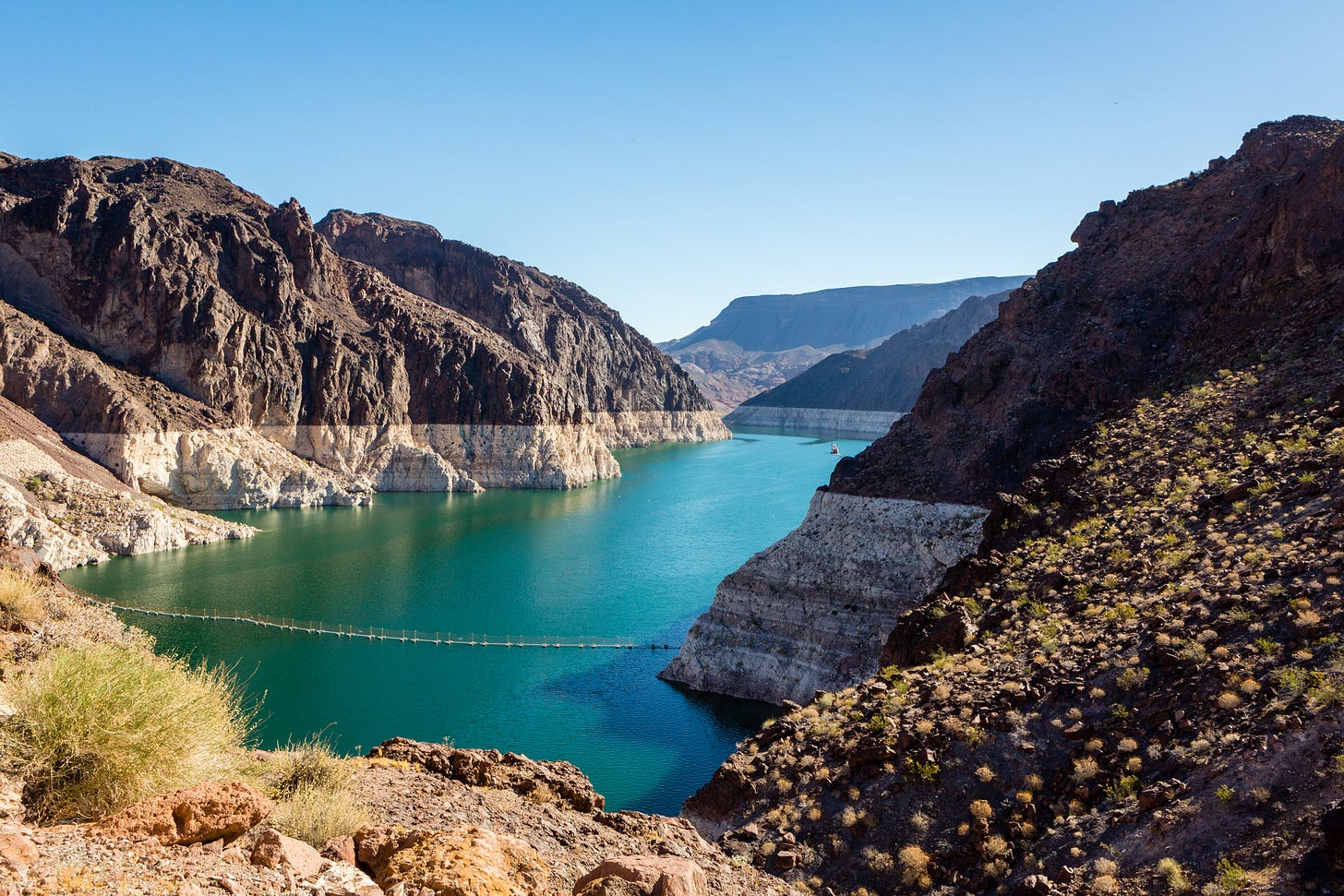
The 1922 Compact was crafted under the assumption that annual water flows through the Colorado River would amount to 18 million acre-feet per annum, a figure that has proved rather optimistic. A multi-decade drought in the US Southwest has withered the flows down to 12 million acre-feet per year, triggering bitter fights over water seniority rights and imperiling major hydroelectricity dams along the river, including the Glen Canyon Powerplant near Lake Powell and the Hoover Dam itself, which is fed by the waters of Lake Mead.
All of this is pinned on anthropogenic climate change, of course, and presents a useful test case for a question insufficiently debated in public: should humanity sacrifice global standards of living now in the hope of preventing future climate catastrophes or should it rather set aside the resources needed to react to any negative consequences from elevated CO2 levels in the event they manifest. The latter adaptation option avoids the preemptive wasting of trillions of dollars should the foundational doomsday assumptions prove wrong or the preemptive solutions not work. This model is vigorously opposed by climate activists under the central argument that only rich nations can afford to adapt, forcing poorer countries to bear the brunt of the upcoming dislocations. Meanwhile, those same countries are burning every molecule of oil, gas, and coal they can get their hands on to climb out of said poverty and are thereby responsible for more than 100% of the growth in carbon emissions in the past two decades.
Fortunately, buried in the much-maligned Inflation Reduction Act of 2022 are the funds needed for an interesting experiment that might help quantify the cost of adaptation. Even if one assumes the entire drop in water flowing through the Colorado is due to climate change, it turns out there is a price that can be paid to reduce consumption of the river’s precious flow, allowing levels behind the dams to restore balance. The best part? Early data confirms it is a refreshingly paltry sum.


